The California Drought – Has Year 4 Begun?
California is in the grip of a ridge of high pressure that has blocked the procession of drenching storms we had in December.

As much of the US is in the grip of a frigid arctic air mass, California is in the grip of a ridge of high pressure that has blocked the procession of drenching storms we had in December.
A similar pattern, dubbed the Ridiculously Resilient Ridge, set up at this time last winter and pushed the normal storm track to the Pacific Northwest and Canada, resulting in one of the driest years on record in California. This winter, the December storms got us off to an above average start and raised hopes that the drought was coming to an end. But with the three weeks of dry weather and a forecast for at least one more dry week, we will likely fall below average by January 15th. If the Ridiculously Resilient Ridge returns and blocks precipitation for the rest of the winter, we will be in trouble.
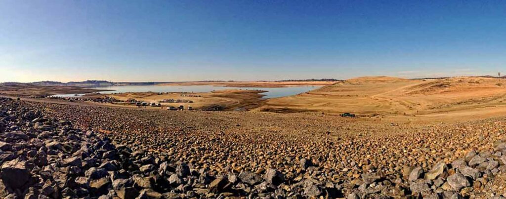
It seems unlikely, at least statistically, that a drought as bad as last year will recur, but after three dry years for our rivers and fish, we have little resiliency and water storage is far behind needs. This is especially true for the San Joaquin River. The December storms helped, but California reservoirs remain about half of average for this time of year.
Our wet season is far from over, and the seasonal forecast from the National Weather Service shows a probability of above average precipitation this winter, so there is some basis for hope. However, as each day dawns warm and dry, we drift closer to another year of drought. Already, the state and federal agencies responsible for managing California’s water system and protecting imperiled fish and wildlife have developed an Interagency 2015 Drought Strategy that lays out a plan to adapt to what could be year 4 of a ridiculously resilient drought. This is one strategy everyone would be glad to have gather dust on a shelf.


