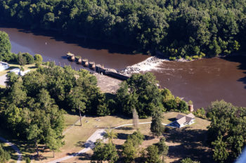
The story of the Cape Fear River is the story of North Carolina. Even the nickname for the state – the Tar Heel State – has its origin from the pine plantations that lined the river in the early history of North Carolina.
The Cape Fear is the largest river system within the state connecting communities from Greensboro to Wilmington. Its history is of a working river, being used as a mode of transportation for goods and a dumping ground for early industry. There are numerous stories from that era about neighbors of the river telling what day it was by the color of the river due to the dumping of dye waste from the mills along the river. Today, the river still faces chemical threats from perfluorinated compounds like GenX and 1,4 dioxane, coal ash ponds, and excessive nutrient inputs from urban and agricultural practices.

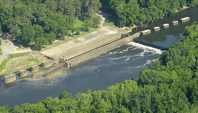
Lock and Dam 2 along North Carolina’s Cape Fear River | Alan Cradick
The river’s connection to its communities has been changing over the last two decades as significant efforts have been in place to restore the river to be a natural and recreational resource. The latest effort is by the U.S. Army Corps of Engineers which has begun a disposition study of the three locks and dams along the river. Across the country a significant amount of our water infrastructure has reached the end of its usable life span, some are no longer serving the purpose for which it was built; these studies by the Corps are designed to determine if these older structures are still serving their authorized purpose.
The locks and dams on the Cape Fear River were constructed to provide commercial navigation from the Port of Wilmington up to the City of Fayetteville, North Carolina’s most inland port. The first dam was constructed in 1915 and the final lock and dam was completed in 1935. They were a major boon to the economic strength of the region, creating a reliable navigation channel out to the ocean. The recent rehabilitation of the locks would allow for continued navigation if there was demand, but commercial navigation (barges) became obsolete along the Cape Fear with the advancement of the rail road and interstate highway system. The final commercial shipment along the Cape Fear was more than a decade ago and since then the project has sat idle with only minimal financial support.
The locks and dams have been used for more than just the navigation for which they were authorized. Communities and industries have used the impoundments behind the dams as a cheap source of water supply and have built their long-term water supply plans on those impoundments being in place.

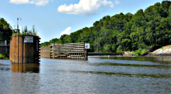
Cape Fear River’s Huske Lock and Dam | Don Adams
The locks and dam create a major problem on the Cape Fear River, they have been blocking fish migration up stream to spawning habitat for more than a century. This disconnection has negatively impacted the native fish species in the river and is putting some threatened and endangered species even more at risk. American Rivers is part of a coalition that is attempting to resolve this threat – the Cape Fear River Partnership – which was able to raise $13 million to install a rock ramp on the first lock and dam.
Now the question is what to do with the other two locks and dams? The Corps’ disposition study will primarily look at the commercial navigation value of the locks and dams and whether it is an ongoing need. It seems unlikely the answer will be ‘yes.’ The study will also consider the other non-authorized uses of the structures and the ecological health of the river, which is the part of the study that can prove most impactful.
American Rivers is committed to supporting an outcome of that study that restores the ecological health, assures reliable water supply and improves water quality within the river. This study can be a catalyst for a grander vision of a healthy Cape Fear River.


2 responses to “Infrastructure Study Opens Opportunities for the Cape Fear River”
Please communicate with the mayor of Wallace, NC, Charlie Farrior regarding what the current and planned work for flood risk mitigation is on the Cape Fear River.
We would greatly appreciate a forum held in Duplin County or another location due to the devastation of Hurricane Florrence. This area has been flooded repeatedly and many of these areas were NOT in flood plains. It would be very helpful to learn of the ACOE work.
It is only 8 months from hurricane season. Thank you, Michele Marrie fjmdmarrie@gmail.com
Please restore the Cape Fear River back to it’s natural and unpolluted state. The current and future generations will thank you.