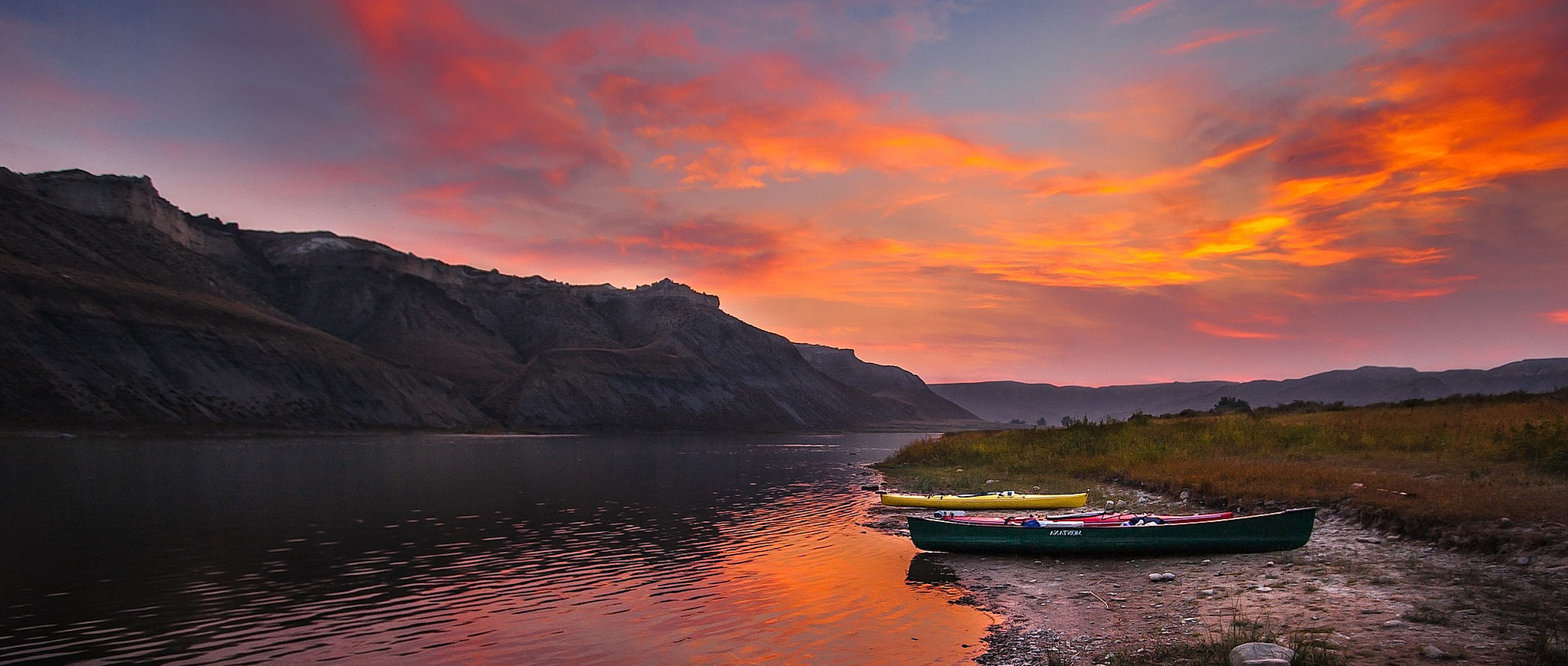
Protecting Wild Rivers

What is a Wild and Scenic River?
The National Wild and Scenic Rivers System was created by Congress in 1968 (Public Law 90- 542; 16 U.S.C. 1271 et seq.) to preserve certain rivers with outstanding natural, cultural, and recreational values in a free-flowing condition for the enjoyment of present and future generations.
The Act is notable for safeguarding the special character of these rivers, while also recognizing the potential for their appropriate use and development. It encourages river management that crosses political boundaries and promotes public participation in developing goals for river protection.
Visit our Wild and Scenic Rivers map to see if one of your favorite rivers is protected, or needs protection.
Wild and Scenic Rivers have one or more special features. These may include:
- Pristine water
- Beauty and scenery
- River recreation
- Richness of animal and plant life
- Importance to our country’s history and culture
Some Wild and Scenic Rivers are remote and ideal for a multi-day float trip, such as Idaho’s Salmon and Selway. Others are more developed with roads and bridges, close to population centers, such as New York’s Upper Delaware.
Often, only sections of a river are designated as Wild and Scenic, while other parts of the river may have dams or other development.
Benefits of Wild and Scenic Rivers
Rivers that are protected as Wild and Scenic help people and nature in many ways. These rivers:
- Are home to some of the best fishing, boating, hiking and scenery anywhere
- Naturally filter and store clean water
- Reduce the impacts of floods
- Preserve some of the most important ecosystems on the planet
- Enable native plants and animals to thrive
- Preserve the cultures of communities who once lived by the river
- Provide amazing adventures, recreation and wildlife viewing
- Contain fabulous rock and geologic formations that help us understand the evolution of our planet
River protection: A uniquely American idea
By the 1960s, decades of dam construction had taken a toll on our nation’s rivers. Thousands of miles of fish habitat and rapids, and acres of riverside forests and farmland were buried by dams and reservoirs. Pollution, logging, and other harmful development had also degraded the health of rivers nationwide.
Many of our nation’s best rivers were dying, their beauty and benefits destroyed. Very few rivers and their surrounding lands remained in their natural state.
John and Frank Craighead – identical twins and famed researchers of wild grizzly bears in Yellowstone National Park – helped envision and write the National Wild and Scenic Rivers Act.
Maryland natives, they first found their interest in wild waters and animals along the Potomac River. Their studies of wildlife ecology and their documentary film series “Wild Rivers” helped pave the way for river protection. In Montana, John was involved in the fight to stop a proposed
Army Corps of Engineers dam at Spruce Park on the Middle Fork of the Flathead. “Rivers and their watersheds are inseparable, and to maintain wild areas we must preserve the rivers that drain them,” he wrote.
Their ideas about creating a system of protected rivers formed the foundation of the National Wild and Scenic Rivers Act, signed into law in 1968.
While writer and historian Wallace Stegner described our National Parks as America’s “best idea,” the protection of Wild and Scenic Rivers is another important American conservation innovation – safeguarding these priceless resources for the public and future generations.
This history of American Rivers is intimately connected to the protection of Wild and Scenic Rivers. We were founded in 1973 to fight the construction of harmful new dams and to get more rivers designated as Wild and Scenic.
Three Levels of Designation
Wild River Areas
Those rivers or sections of rivers that are free of impoundments and generally inaccessible except by trail, with watersheds or shorelines essentially primitive and waters unpolluted. These represent vestiges of primitive America. Examples include the Chattooga River in Georgia, the North Fork American in California and the Middle Fork Salmon in Idaho.
Scenic River Areas
Those rivers or sections of rivers that are free of impoundments, with shorelines or watersheds still largely primitive and shorelines largely undeveloped, but accessible in places by roads. Examples include the Niobrara River in Nebraska and the Pere Marquette River in Michigan.
Recreational River Areas
Those rivers or sections of rivers that are readily accessible by road or railroad, that may have some development along their shorelines, and that may have undergone some impoundment or diversion in the past. Examples include the Sudbury, Assabet and Concord rivers in Massachusetts and the John Day River in Oregon.
How Wild and Scenic designations protect rivers
The Act protects the free and natural flow of a river and its special features. In particular it:
- Safeguards clean water
- Prevents activities that would significantly harm the river’s character and benefits
- Prohibits new dams or damaging water projects
- Protects land along the river — a quarter-mile protective buffer is established along Wild and Scenic Rivers flowing through publicly-owned lands.
- Requires a management plan with input from local landowners and other stakeholders
Engaging local communities and landowners
The Act recognizes that people and their needs change. The goal is to preserve the character of a river, and engage the local community in its management for the long-term.
The National Wild and Scenic Rivers System works with many landowners around the country. In fact, landowners often want rivers that cross their land to be protected as Wild and Scenic. They realize the many benefits of a protected river, which include:
- Preserving their quality of life
- Protecting the value of their property
- Boosting the local economy with recreation and tourism dollars
