For Oroville: Hope for the Best and Plan for the Worst
In the hopes of helping downstream communities prepare for the worst, our team at American Rivers has attempted to calculate the potential size of another spill event that might result if either the main or auxiliary spillway collapses in the Oroville dam.
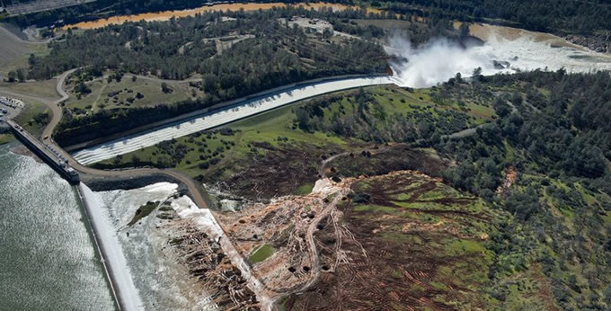
Public safety must be the number one priority at Oroville Dam. Sheriff Kory Honea lifted the mandatory evacuation on Tuesday, but correctly warned that residents should be prepared to evacuate again if the situation deteriorates.
Since Sunday evening when California’s Department of Water Resources [DWR] announced that the collapse of the auxiliary spillway was imminent, I have been trying to understand the potential magnitude of the catastrophe that might result if the auxiliary spillway collapses. Fortunately, DWR was able to increase releases to the main spillway and avert a catastrophe for now, but that has left me wondering how bad it could get.
In the hopes of helping downstream communities prepare for the worst, our team at American Rivers has attempted to describe some plausible scenarios for the days and weeks ahead. With the limited information we were able to gather on the dimensions of the spillways, we attempted to estimate the potential size of another spill event. Since we don’t have perfect information, we could be wrong and we invite our readers to point out any flaws in our reasoning or estimates.
DWR’s heroic efforts to repair the emergency spillway are worth the effort, and we should be thankful for their tireless efforts, but we really don’t want to test whether the repairs will work. It is prudent to assume that they won’t work, resulting in a breach of the spillway crest. The next question is how big the breach will be since that will determine the rate of flow over the broken spillway.
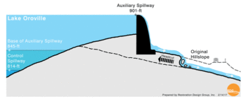
Figure 1, developed by our friends at Restoration Design Group, illustrates how erosion could undercut the auxiliary spillway weir, which is 1730 feet wide, 30 feet high on the lake side of the spillway, and as much as 50 feet high on the downhill side.
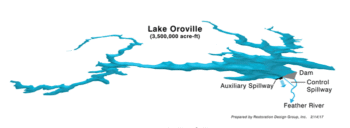
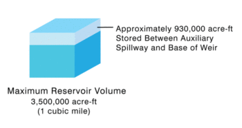
The close-up photograph of the spillways (figure 2) also shows the relative elevation of the main spillway gates and the auxiliary weir crest. The reservoir covers a 16,000 acre area (Figure 3), and by our estimates as much 930,000 acre feet of water could rapidly flow out of the reservoir during a breach of the auxiliary spillway (Figure 4). Far more would rush out if the main spillway failed.
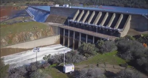
Figure 2: View looking North shows the main spillway control gate structure in the foreground and the eauxiliary spillway in the background.
Since the mechanism of failure is undercutting, it is possible that an overtopping event would create a very large breach that would effectively function as a weir since it is at the top of a hillside.
All the water above the bottom of the breach would rush over the auxiliary spillway, but the rate of flow, measured in cubic feet per second, or cfs, would depend on the size of the breach. You can use this weir equation to see how different assumptions about the width and height of a breach would affect the discharge. Your guess on the size of the breach is probably as good as ours, but consider the following scenarios:
Scenario #1 – Disaster Averted: The best and the most plausible scenario is for DWR to avoid another spill event.
Scenario #2 – Reservoir Spills but Spillway holds: Even if the crest holds, it could be bad if the peak inflow enters after the reservoir is full as described in my earlier post.
Scenario #3 – Moderate Breach in Auxiliary Weir Crest: Overtopping of the weir crest creates a breach 500 feet wide and 30 feet deep.
Scenario #4 – Major Breach in Auxiliary Weir Crest: Overtopping of the weir crest creates a breach 1,000 feet wide and 30 feet deep.
Scenario # 5 – Failure of the Main spillway: Overtopping of the weir or excessive use of the main spillway causes failure of the main spillway gates and a major notch 167 feet wide and 90 feet deep.
The table below summarized the scenarios and expected discharge using a weir equation.
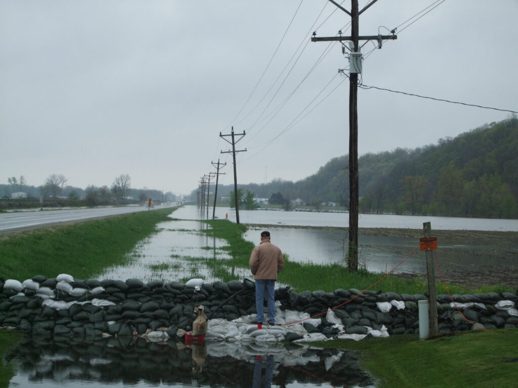
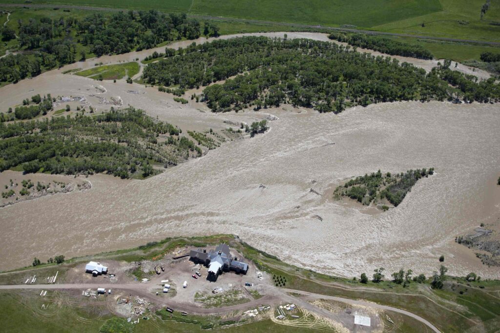
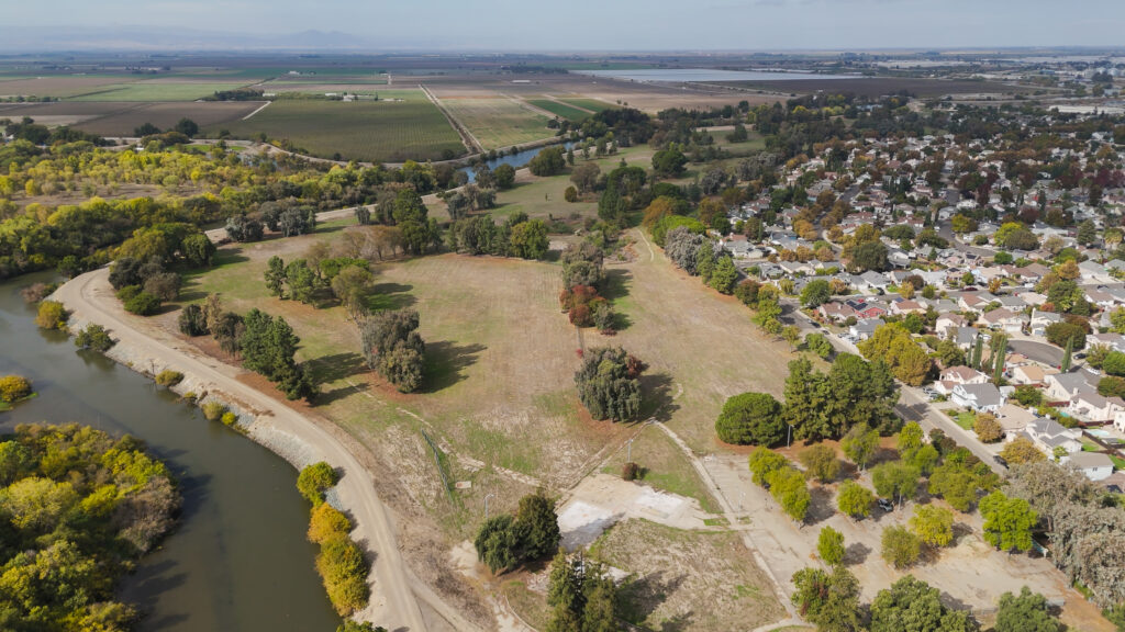
The design capacity of the Feather River floodway is 210,000 cfs (CA flood management picture), but it hasn’t really been tested in recent memory except in 1997 when releases from the dam were 150,000 cfs and downstream levees broke. Since then, as described in my previous blog, the floodway has been expanded and the levees improved, but it is very unlikely that it could contain flows resulting from any of the breach scenarios.
On the low end of the spillway failure scenarios, one or more levee breaches will most likely occur along the Feather River, flooding populated areas like Yuba City where 60,000 people live. On the high end of the range, the results would probably be catastrophic. I won’t speculate too much about where the water will go and how much it will erode or spread out, but suffice it to say that I would evacuate if I lived in the floodplain of the Feather River or Butte Basin, and I would pay careful attention to the situation if I lived in the low lying areas of Sacramento.
The key factors will be temperature, precipitation, inflows to Oroville, the integrity of the spillways and associated repairs, and the size of a breach that could open up if one or both spillways fail. More precipitation is forecast over the Feather River continuously through at least Tuesday. Fortunately, it looks like it will be both cooler and lighter than the last storm. If inflow stays below or equal to outflow (which has been 100,000 cfs), then DWR should be able to avert a disaster. Between Sunday evening and Wednesday evening, DWR evacuated 360,000 acre feet, which is very close to my estimate. If inflow starts to exceed controlled releases by a significant amount though, the reservoir could fill and spill within a matter of days.
My hope is that we can avoid a disaster this year and learn the lessons necessary to avoid future disasters as climate change makes these extreme events more common. Over the weeks and months ahead, I will be blogging about the 2017 update to the Central Valley Flood Protection Plan and the lessons learned over the last five years as American Rivers worked with DWR, the Central Valley Flood Protection Board and many other dedicated partners on this progressive plan. For now, I will sign-off with my mantra: giving rivers more room to safely carry flood waters is the best way to protect people and property from floods.
Erik Stromberg, ASLA, contributed to this piece.

2 responses to “For Oroville: Hope for the Best and Plan for the Worst”
You did a reasonably good job on this article right up to your comment on Climate Change. If it is your opinion that Climate Change is caused by mankind you are 100% wrong. Period. If you are suggesting that we are in aneed historical and cyclic period of change that happen to this earth we live on between ice ages and periods of warming which have been happening since this earth was created then I can and do accept your premises of Climate Change. Keep up the good AND accurate reporting you are doing. There is too much misinformation bring disseminated out there
We never did learn a lesson from New Orleans. How did so many years go by and all this talk about infrastructure plus another 10 trillion in debt and nothing to show for it.